This page shows the expected weather on the Helsinki-Tallinn ferry route across the Gulf of Finland (Baltic Sea). Most sailings run as normal, but strong winds, higher waves, poor visibility, and winter ice can change the crossing time and, sometimes, the timetable. Use the forecasts below for both ports and the live maps for wind, waves and rain over the open water.
Cancellations on this route are uncommon. When they happen, it is usually because docking becomes unsafe in very strong winds (especially gusty crosswinds) or because port operations are restricted. In documented storm cases, wind speeds of around 30 m/s have been enough for operators to cancel multiple departures on the Helsinki-Tallinn route.
Weather Helsinki
Strong winds and storm conditions in the Gulf of Finland occur most often from October through January; on average, Finnish sea stations see about 19 days per year with storm-force wind (≥ 21 m/s), and the windiest months around Helsinki tend to be late autumn and early winter.

Weather Tallinn
Conditions can differ on the Estonian side. Wind direction and low clouds can change quickly, so check Tallinn near your planned arrival time, especially if you connect to onward travel.
Wind during the crossing (Gulf of Finland)
Wind is usually the number one factor on this route. The Gulf of Finland can produce rough conditions when winds align with the gulf axis and build longer fetch. Strong crosswinds can slow docking and increase the risk of delays. In extreme cases, departures may be cancelled.
What to look for on the map: sustained strong wind plus high gusts near Helsinki or Tallinn often matters more than wind mid route. If you see storm force conditions near either port, expect schedule changes and check operator traffic bulletins before you leave.
Height of waves on the Gulf of Finland
Wave height mostly affects comfort and speed. If wave height increases, operators may reduce speed to stay within safe limits, which can extend the crossing beyond the typical 2 to 2.5 hours. Larger ships are less likely to cancel.
Extreme weather events (like big waves) in the Gulf of Finland are reported mainly in the cold season (roughly October to March). If you travel in that period, plan for more variability in crossing time.
Storm risk (rain and thunder)
Rain usually does not stop ferries, but heavy rain and thunderstorms can slow down loading and increase queue times at the terminals. Poor visibility (fog or heavy precipitation) can also delay arrivals and departures.
Winter ice and freezing conditions
In winter, ice conditions can affect harbour approaches and the time required for manoeuvring. Ice-class ships usually continue operating, but heavy ice periods can cause slower arrivals, changed berths, or operational adjustments. If temperatures are well below freezing and the wind is strong, expect a higher chance of delays.
Tip for bad weather conditions
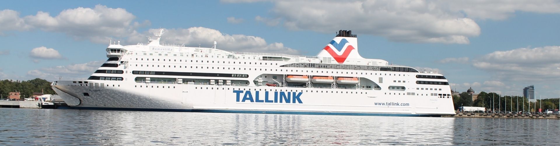
Are forecasts showing storm-level wind or higher waves? Expect delays and occasionally cancellations, mainly when docking becomes unsafe. Check the timetable and operator updates before travelling. The main operators are Eckerö Line, Viking Line and Tallink Silja. On rough-weather days, arrive earlier and allow extra time for check-in and boarding at both ports (Tallinn and Helsinki).
Small fast craft are typically more weather sensitive than large ferries. If you booked a fast service, wind thresholds for cancellation may be lower than for the larger ships. (Megastar for example)